
Green Textured Cycling Background

Natchez Trace State Forest Loop

Route Overview

Nearby Towns & Parks

Natchez Trace State Park, Lexington, Parkers Crossroads Battlefield, Parkers Crossroads Visitor Center, Parsons

Length

31.00 Miles

Elevation Range

2000

Terrain

Road Cycling

Features

Woods, Tree-lined, Farmland

About This Route

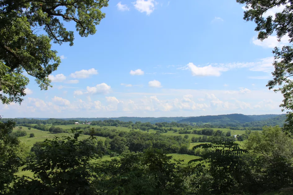
This loop route begins and ends at Natchez Trace State Forest and encircles the preserved woodlands of nearby Natchez Trace State Park. These tree-covered roads are a rare treat in a largely agricultural region, offering cool shade during Tennessee's humid summer afternoons. The route explores some farmland roadways in the middle of the ride to balance out the scenery.
Ride With GPS

The Real Seal

In a world where millions of AI-generated photos are created every day, travelers can’t always tell what’s real anymore. But we’ve made a commitment to never use AI-generated pictures to represent our destinations. Every place we show is real. And to prove it, we created a certified mark for our photography that verifies its authenticity.

Every original photo submitted is analyzed to confirm it’s real, not AI-generated. Once verified, each picture receives content credentials and secure metadata showing who captured it, when it was taken and what camera was used.

Some basic retouching can still be part of a certified photo, but only when it helps to better reflect what was already there.

The Tennessee Real Seal sets a new standard for travel content that people can trust. So even when the landscape looks too beautiful to be true, you know it didn’t come from a prompt. It’s a real place in Tennessee, waiting for you to explore.